Old Michigan Maps Showed – Mysterious Islands?
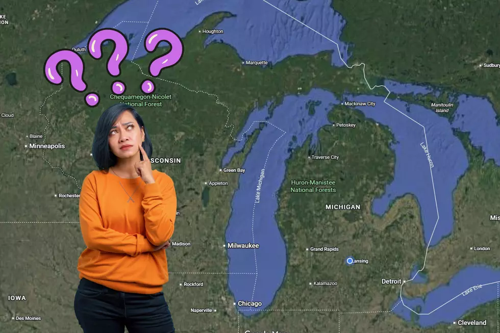
Three hundred years ago, if you were to look at most maps of Michigan and specifically, Lake Superior, you would've seen many islands on the map that are not on any present day maps. Islands like Isle Anne and Isle Pontchartrain. 100 years later, by the year 1832, the islands were no longer on the maps.
What happened?
According to MLive.com and the MSU Map Library (they're displaying some of the maps this week), somebody got it wrong and then everybody kept copying their work instead of checking the facts for themselves.
Of course, that's what they WANT you to believe. The maps also showed an "elevated plain" running down the middle of the lower peninsula of Michigan. Full of dinosaurs, I'm sure
Hmm. I'm not saying those islands were ancient alien space-ports, but....
Banana Don and Stephanie McCoy amuse and thrill you every weekday morning from 5:30 – 10AM on the radio at 100.7 WITL.
Noted zythologist and all-around fun guy Banana Don can be reached via email at don.jefferson@townsquaremedia.com and on Twitter @WITLFM. Also, Facebook friend Banana Don and Stephanie at Facebook.com/BananaStephanie and Facebook.com/WITLFM.
Plus – check out the new WITL app. It’s much better than any other app – ever.
More From 100.7 WITL