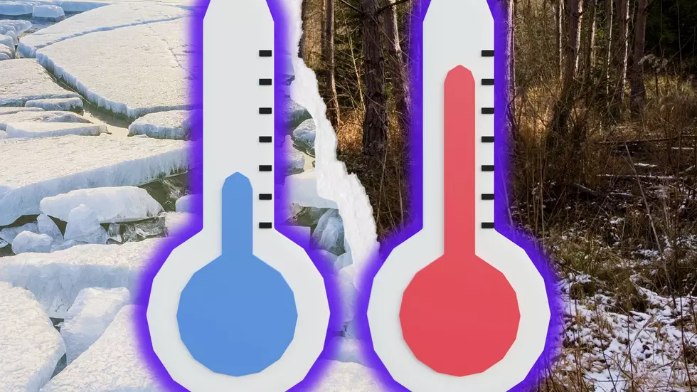
Michigan Could Set Some of the Highest AND Lowest Winter Records This Year
It's winter in Michigan, and depending on where you're at in the state, you're either asking "Where's the snow?" Or, "Can it PLEASE STOP SNOWING?" By now, most places have a pretty even layer of snow on the ground, but things have been a bit different this year.
Between record snow storms in November and December and abnormally warm temperatures over the Great Lakes, Michigan is actually trending toward some record Highs AND Lows for winter weather this season.

Low Ice on the Great Lakes
It's been a weird mix of weather, and maybe helping (or hurting) snowfall amounts is the abnormally low amount of ice on the Great Lakes.
NOAA's Great lakes Environmental Research Laboratory (GLERL) is showing near-record low amounts of ice on the lakes' surface.
- Lake Superior, the northernmost Great Lake, is currently only showing about 2.4% ice coverage when the long-term average for this time in January is typically about 12.3%.
- Lake Michigan is typically at about 14.3% by now but is only showing 3.5% of the lake covered in ice.
- Lake Huron should be somewhere around 22% covered in ice but is only sitting at 4.4% covered.
- Lake Erie is possibly the furthest behind, at only 3.4% covered when it should be close to 34% iced over.
- And Lake Ontario is barely showing one percent coverage, when it typically has somewhere between five and 10% coverage by now.
What results is a higher possibility of water evaporation from the lakes, and into the atmosphere, and in some areas, that could mean more Lake Effect Snow (see Buffalo, New York) than ever seen before.
High/Low Snowfall
Places in Michigan are even trending toward record-high snowfall. Currently, Grand Rapids is eyeing 68.2 inches of snow, which could fall shy of the record of 88.2 inches in the winter of 1951-52. But, this is all based on current snowfall trends. All it takes is another major snowstorm to see that number skyrocket.
And it seems like some of the snowiest cities in Michigan, like Muskegon, are on track for one of their lowest snowfalls to date.
Nothing will ever beat the winter of 1931-32, which didn't measure ANY snow there, but as they stand now, Muskegon is more than 18 inches below normal snowfall levels.
In the Upper Peninsula, particularly the Keweenaw Peninsula, it's not uncommon to see over 300 inches of snow in a winter. The record was set at 390.4 inches in 1978-79.
So far, they've accumulated 111.5 inches, and still have half of January, and February (the snowiest months of the year) to go. That's not to ignore March and April, which last year, added another 50+ inches to the year-end total.
At the very least, they're on pace to beat the 300-inch mark for the winter of 2022-23.
So is it possible to set both high AND low winter records in one season? Michigan is going to test that theory in 2022-23. The state is literally Hot and Cold on the subject.
White Shoal Lighthouse: The Great Lakes' Tallest?
More From 100.7 WITL


