Mid-Michigan Could See Severe Weather Today
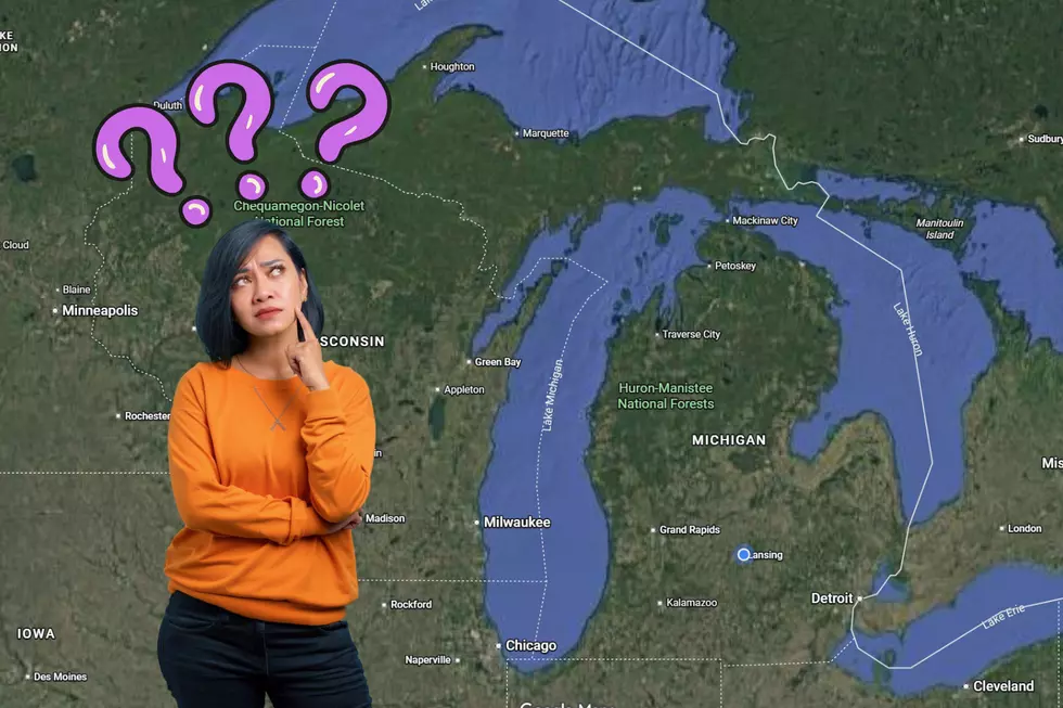
According to WILX.com, there's a chance that we could see some severe weather later today. (Monday, June 22, 2015) The biggest threat for Mid-Michigan will be high winds, large hail and the possibility of tornadoes. The storms could be hitting our area between 3pm and 10pm.
NOAA's Storm Prediction Center has put Michigan in a "marginal risk" area for severe weather this afternoon and evening. You can check out their map by clicking here.
· Listen to Banana Don & Stephanie McCoy weekday mornings from 5:30a-10a on 100.7 WITL.
· Follow Stephanie on Facebook at facebook.com/bananastephanie and facebook.com/WITLFM on Twitter @WITLMcCoy.
· Email Stephanie at stephanie.mccoy@townsquaremedia.com
- Listen to Banana Don & Stephanie McCoy weekday mornings from 5:30a-10a on 100.7 WITL.
- Follow Stephanie on Facebook at facebook.com/bananastephanie and facebook.com/WITLFM on Twitter @WITLMcCoy.
- Email Stephanie at stephanie.mccoy@townsquaremedia.com
Read More: Former Michigan State Player Has BEST WEEK EVER | http://witl.com/former-michigan-state-player-has-best-week-ever/?trackback=tsmclip
More From 100.7 WITL