Mid-Michigan Braces For POTENTIAL Big Winter Storm
The National Weather Service in Grand Rapids has pushed the big yellow button that sends out winter storm watches. And their hand is hovering nervously over the big red WARNING button. At least, that's how I see it working.
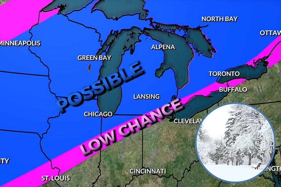
Our area falls under a Winter Storm Watch, effective from noon on Wednesday and expiring at 8PM on Thursday. To quote the National Weather Service:
"A WET HEAVY SNOW COULD BEGIN AS EARLY AS WEDNESDAY AFTERNOON AND LAST THROUGH THURSDAY... WITH GREATER THAN 8 INCHES OF SNOW POSSIBLE MAINLY FOR AREAS NORTH OF A LINE FROM HOLLAND TO LANSING.
A WINTRY MIX OF PRECIPITATION INCLUDING FREEZING RAIN... SLEET... AND/OR SNOW WILL BECOME POSSIBLE SOUTH OF A HOLLAND TO LANSING LINE LATE WEDNESDAY."
That's the National Weather Service - always shouting with their ALL CAPS watches and warnings. And, since we're on the line, all it takes is a little movement (of that line) north and we may just get sleet or rain. Little further south and, well.....Here's some more insight from MLive.com.
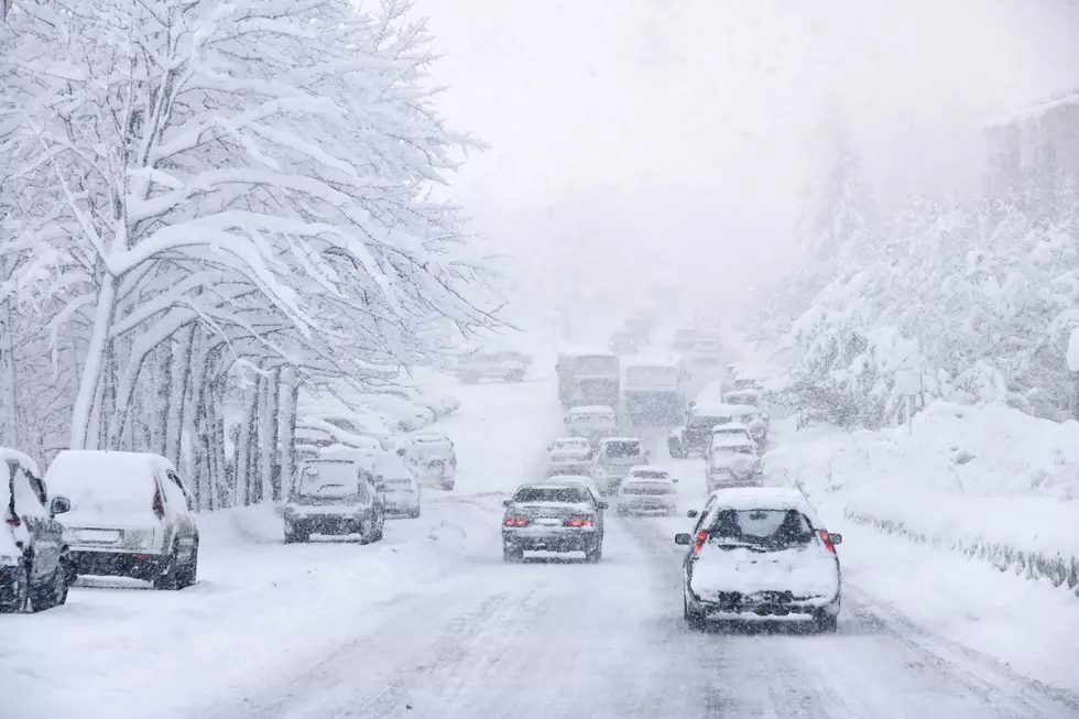
So, you know the drill - fuel up the snowblower and prepare to take pictures for Facebook for your friends and family in Florida.
Banana Don and Stephanie McCoy amuse and thrill you every weekday morning from 5:30 – 10AM on the radio at 100.7 WITL.
Banana Don can be reached via email at don.jefferson@townsquaremedia.com and on Twitter at @WITLBananaDon and @WITLFM. Also, Facebook friend Banana Don and Stephanie at Facebook.com/BananaStephanie and Facebook.com/WITLFM.
More From 100.7 WITL