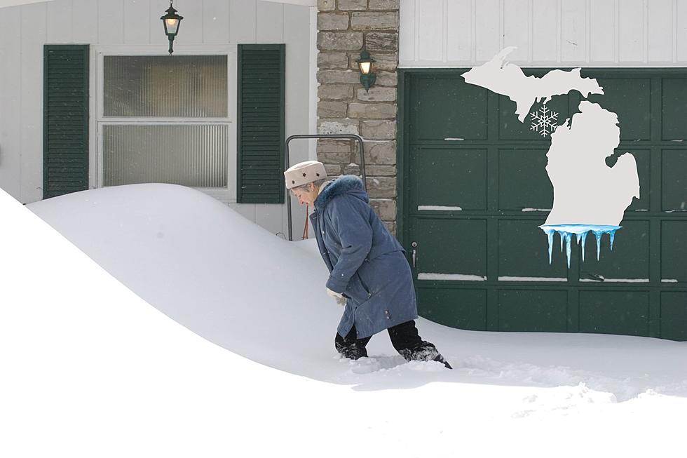
Goodbye El Nino, Here Comes La Nina in Michigan
Just when you think you can trust a groundhog, the weather gurus at the Climate Prediction Center throw Michigan a curveball. Let's dive into their latest prediction and see what the dynamic duo, comprised of El Nino and La Nina, have in store for the Mitten State's spring forecast.
Related: Historically Strong El Niño's Impact on Michigan
To catch you up, Michigan's warmer-than-average winter can be credited to the impact of El Nino, which is a heat wave in the Pacific Ocean. How does that make a difference to Midwest temps?
How Warmer and Colder Temperatures in the Pacific Ocean Impact Michigan Weather
Think of El Nino as a big warm blanket spread over the Pacific Ocean. These warmer waters heat the air currents blowing above them, known as the jet stream. These high-altitude winds eventually blow over Michigan and bring warmer temperatures.

According to the National Oceanic and Atmospheric Administration (NOAA), the waters of the Pacific Ocean are beginning to cool down, which means Michigan could see a much different second half of winter.
What La Nina Means For Michigan's Winter
When the jet stream cools down, so does Michigan's temperature. La Nina also brings with it an increased chance of precipitation, which could mean a snowier, icier, and slushier February and beyond for the Great Lakes State.
Related: Blizzard of 1978: When Mother Nature's Fury Shut Down Michigan
Keep in mind these are predictions based on observations and forecast models. Much like the snowflakes they can bring, no two La Ninas are alike. Maybe we'll get one or two more opportunities for snow days before spring arrives in Michigan.
Blizzard of 1978: When Mother Nature's Fury Shut Down Michigan
Gallery Credit: Scott Clow
LOOK: The most expensive weather and climate disasters in recent decades
Gallery Credit: KATELYN LEBOFF


