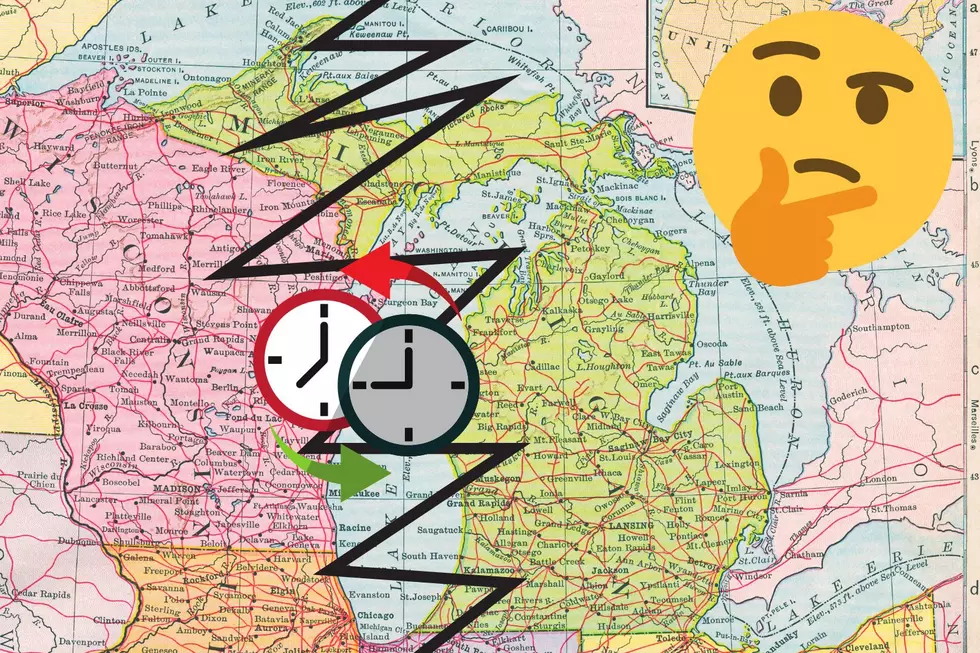
Where’s the Center of Michigan? You May Be Surprised
The geographic center of North America is the town of Center, North Dakota - originally named that because it's in the center of it's county. According to Popular Science online, this fact was just recently discovered by Peter Rogerson - a geography professor at the University of Buffalo. In fact, he's figured out a new way to determine the geographic center of every state. Almost a hundred years ago, the U.S. government figured out the center of each state by cutting out a cardboard outline of each state and then balancing the shape on a point or from a string.
And I'm not making that story up. Yes, this is the same government that invented the atomic bomb just a few years later. Which is why they got so far back when they hit that button the first time.
But the "cardboard cutout" method didn't take into account the curvature of the earth. Roger's method involves some more advanced SCIENCE, but he only happened to calculate the center of North America after he read about two towns in North Dakota fighting over the title.
So, where's the center of Michigan? Because we have the U.P. the (updated) geographical center of the entire state of Michigan is about six and a half miles west of Cadillac. Under the old method, the center was a little further north.
The center of the lower peninsula appears to be St. Louis, Michigan. This may have changed, but I can't find any information on an "updated" location from Dr. Rogerson. So, let's just go with St. Louis, 'cuz everybody I know from St. Louis seems to be cool and I'd hate for them to have to tear down the "Middle of the Mitten" signs.
Banana Don and Stephanie McCoy amuse and thrill you every weekday morning from 5:30 – 10AM on the radio at 100.7 WITL.
Banana Don can be reached via email at don.jefferson@townsquaremedia.com and on Twitter at @WITLBananaDon and @WITLFM. Also, Facebook friend Banana Don and Stephanie at Facebook.com/BananaStephanie and Facebook.com/WITLFM.
More From 100.7 WITL