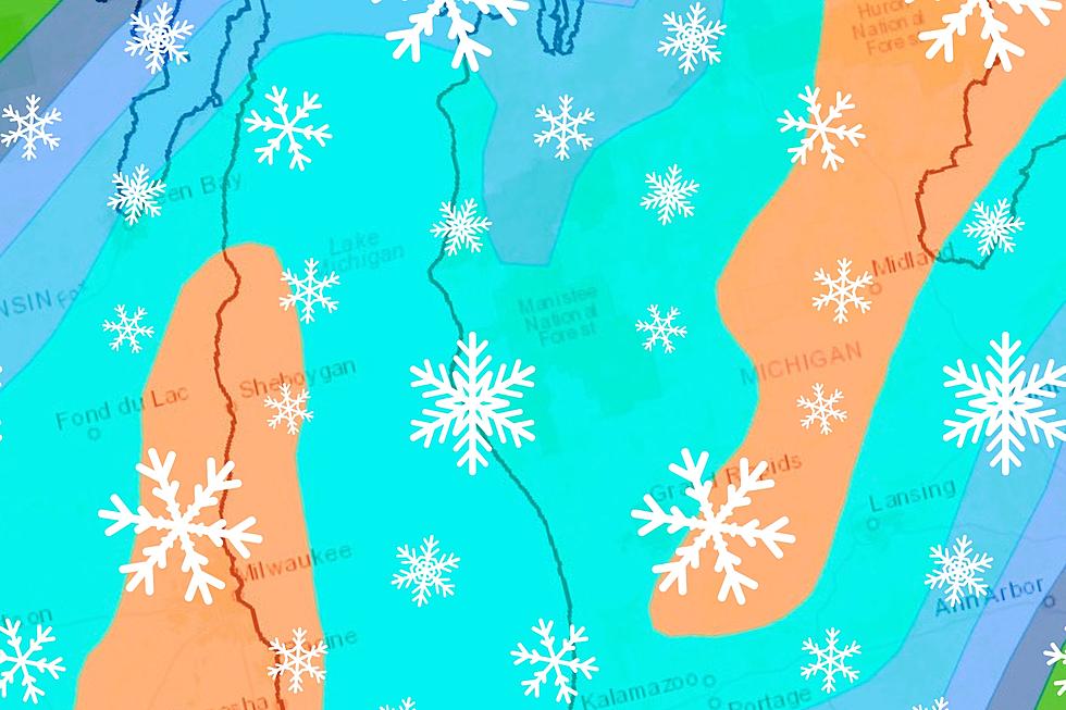
Much of southern Lower Michigan can expect some accumulating snow overnight Thursday into the day on Friday (January 18-19). Here's a town-by-town look at what to expect.
Confidence among forecasters is growing that much of Lower Michigan could see 8-12" of snow this weekend, with isolated areas potentially approaching two feet.
A blustery winter storm is expected to drop up to 15 inches of snow in some parts of Mid-Michigan Friday. Here are the latest town-by-town snowfall predictions.
Winter Storm Watches have been issued for much of most of Lower Michigan west of US 127. A wintry mix is expected Wednesday. Here's what to expect in your town.
Winter Weather Advisories are up once again for parts of Mid-Michigan this weekend, with a broad range of snowfall totals expected - depending on where you are.